Briefing
In June 2011, a Swedish treasure-hunting team called Ocean X — led by
Peter Lindberg and Dennis Åsberg — recorded a side-scan sonar image of
a roughly sixty-metre (200 ft) circular formation while searching the floor of
the Gulf of Bothnia in the northern Baltic Sea [2]. The image, with its
apparently regular outline, drew comparison to a disc or saucer
craft once UK tabloid coverage carried it into wide
circulation a year later [2].
It must be stated plainly at the outset: this topic carries no FOIA releases,
government reports, court records, or peer-reviewed studies, and has never
been the subject of an official investigation [1][2][3]. The strongest record
available is secondary reporting carrying named experts’ statements, and the
consensus of those experts is that the feature is a natural glacial deposit. No
scientific source in the cited record supports an artificial origin [1][2].
Sequence of events
- June 2011. Ocean X recorded the side-scan sonar image of the circular
formation while searching the Gulf of Bothnia [2].
- The formation is described as approximately sixty metres (200 ft) in
diameter [2].
- The object lies at a depth of roughly eighty-five to ninety-one metres; one
outlet gives about ninety-one metres (≈300 ft). The exact depth and location
were not publicly disclosed by the team [1][3].
- The Ocean X team reported that when positioned directly above the object they
experienced “peculiar interferences”, and that “everything electric,
including their satellite phone, stopped working”, with equipment resuming
function once they had moved roughly 200 metres away. This is a single-source
firsthand claim, uncorroborated by any independent measurement [3].
- 2012. Ocean X returned to the site for additional sonar scans, and
collected stone samples for expert analysis; the team also planned a
documentary [1][2].
- June 2012. UK tabloid coverage (the Daily Mail) drove the story into
wide circulation, prompting speculation that the feature was a sunken UFO [2].
Documentary record
There are no primary documents of the type this archive prefers — no FOIA
release, official report, court or government record, or peer-reviewed paper —
for this topic, and the absence is itself the key finding [2]. What exists is
contemporary news reporting (Live Science / NBC, IFLScience) carrying direct
statements from named scientists; the closest thing to a primary record here is
the quoted testimony within those secondary sources [1][3]. An encyclopaedic
summary (Wikipedia, CC BY-SA) compiles the chronology and expert names, but is
tertiary rather than primary [2]. No published peer-reviewed geological survey
of the site was located.
The expert commentary, as reported, runs consistently toward a mundane reading:
- Volker Brüchert, associate professor of geology at Stockholm University,
analysed the rock samples and is quoted as saying, “I was surprised when I
researched the material I found a great black stone that could be a volcanic
rock,” and, “My hypothesis is that this object, this structure was formed
during the Ice Age many thousands of years ago.” His broader reported
conclusion was that the samples were “granites, gneisses and sandstones”
consistent with glacial processes — glacial erratics dragged by ice
sheets [1][2].
- Jarmo Korteniemi, a Finnish planetary geomorphologist, characterised the
formation as likely a drumlin formed by glacial action [2].
- Hanumant Singh of the Woods Hole Oceanographic Institution characterised
the sonar instrument as “cheap inaccurate” and “improperly wired and
calibrated”, casting doubt on the apparent geometry [2].
- Charles Paull of the Monterey Bay Aquarium Research Institute called the
situation “curious and fun, but much ado about nothing” [2].
No expert in the cited record endorsed an artificial origin [2].
Open questions
- The cited sources do not provide a confirmed, published GPS location or a
single authoritative depth figure; reports range from about eighty-five to
ninety-one metres [1][3].
- No source documents a controlled, instrumented scientific dive or survey of
the site by an independent body — only the team’s own returns and remote
expert commentary on their imagery [2].
- The cited record does not resolve the precise resolution and calibration of
the sonar rig used, beyond Singh’s critical commentary [2].
- No source establishes the provenance chain of the rock samples — how and
where they were collected — to a documentary standard [1].
- The frequently repeated claims of a 300-metre “runway” or “drag mark”, of
“right angles”, and of a “staircase” or “ramp” could not be traced in this
research to any verifiable primary source or instrumented measurement; they
derive from interpretation of low-resolution sonar imagery. A radio-interview
line widely attributed to Lindberg — that any constructed structure “must be
constructed tens of thousands of years ago before the Ice Age” — could not be
confirmed against an original transcript and is treated as single-source.
On the imagery
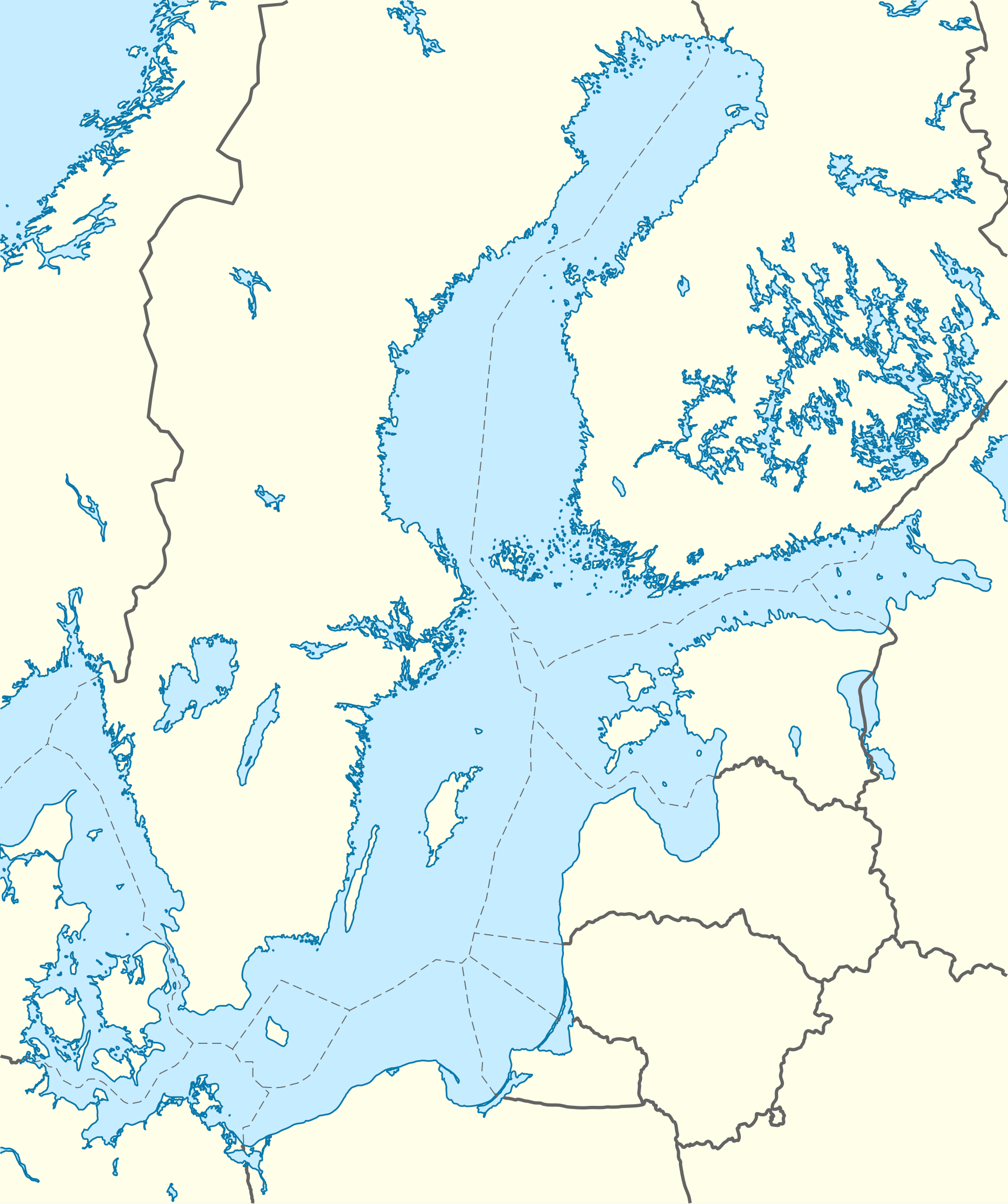
The widely-circulated side-scan sonar images of the anomaly are copyrighted by the Ocean X Team, who recorded them. In keeping with our evidence policy we do not reproduce copyrighted imagery, so this file shows a location map instead; readers can view the original sonar images via the Ocean X Team’s own material.
Status
This file is admitted at CONFIDENTIAL on a narrow basis: the named-expert
testimony preserved within contemporary reporting is consistent, attributable,
and points in one direction [1][2]. It is admitted not because the artificial
interpretation has merit — the cited record contains none in its support — but
because the absence of any official or peer-reviewed investigation, alongside
a clear scientific consensus for a glacial origin, is a documented finding worth
holding. The “peculiar interference” episode and the various “runway” and
“staircase” descriptions remain single-source or untraceable and are recorded
here only as reported claims, not as evidence [3]. Updates pending should any
instrumented, independently published survey of the site emerge.
References
- Wolchover, Natalie (2012). “‘Mysterious’ Baltic Sea Object Is a Glacial Deposit.” Live Science / NBC News.
- “Baltic Sea anomaly.” Wikipedia (CC BY-SA) — chronology and named expert statements.
- “The Baltic Sea Anomaly: What Was The Mysterious ‘Object’ Seen 90-Meters Underwater?” IFLScience.